Illustrated Irish road sign guide
Browse 311 learning cards by topic. Each card shows the sign and its meaning. To practise recalling them, open Sign Quest and choose Learn or take a ten-question quiz.
Sign Quest is an independent study game. The Road Safety Authority publishes the official Rules of the Road.
Warning signs
-
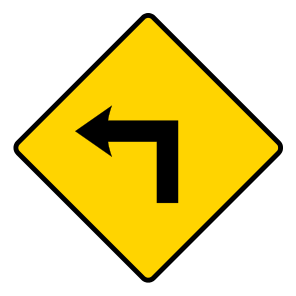
Dangerous corner ahead
A sharp corner is coming up. The arrow shows the direction.
-
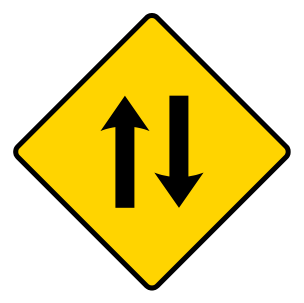
Two-way traffic
Traffic travels in both directions on the road ahead.
-
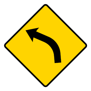
Dangerous bend ahead
The road bends ahead in the direction shown.
-
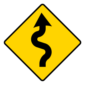
Series of dangerous bends
Several bends follow one another.
-
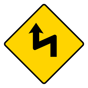
Series of dangerous corners
Several sharp corners follow one another.
-
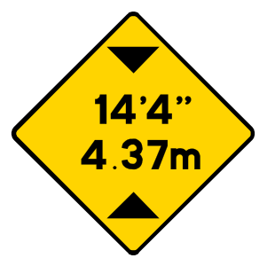
Restricted headroom
Clearance beneath an overhead structure is limited to the height shown.
-
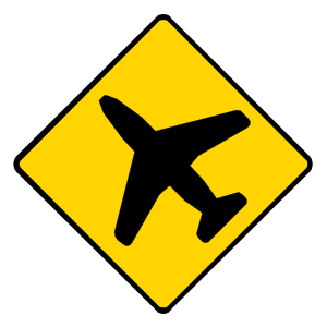
Low-flying aircraft
Aircraft may fly low over the road ahead.
-
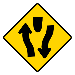
Road divides
The road separates around a central island or dividing area.
-
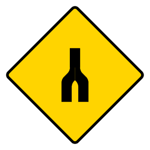
Dual carriageway ends
The divided road ends and opposing traffic will no longer be separated by a central reserve.
-
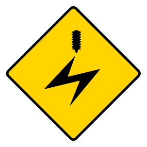
Overhead electric cables
Live electrical cables cross above the road.
-
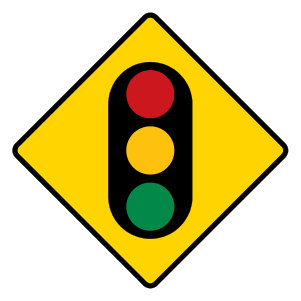
Traffic signals ahead
Traffic lights are ahead.
-
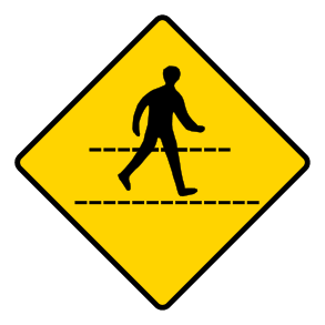
Pedestrian crossing ahead
A pedestrian crossing is ahead.
-
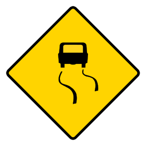
Slippery road ahead
The road surface may give less grip.
-
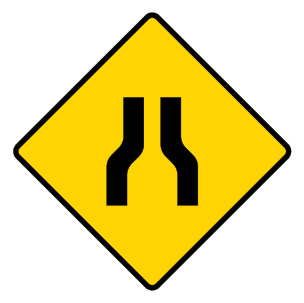
Road narrows on both sides
Both road edges move inward ahead.
-
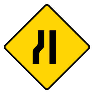
Road narrows from the left
The left edge of the road moves inward.
-
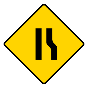
Road narrows from the right
The right edge of the road moves inward.
-
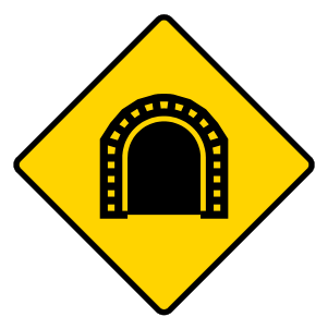
Tunnel ahead
A tunnel is ahead.
-
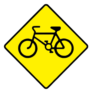
Cyclists
You may meet people cycling on the road ahead.
-
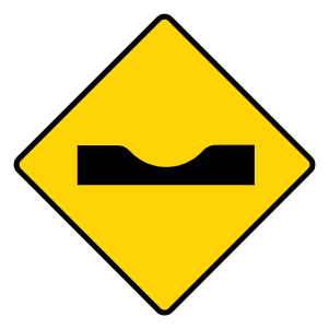
Sharp dip ahead
The road drops sharply into a dip.
-
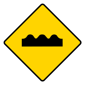
Series of bumps or hollows
The road rises and falls repeatedly.
-
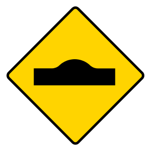
Sharp rise ahead
A sudden rise, such as a hump-back bridge, may hide the road beyond.
-
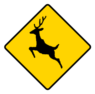
Deer or wild animals
Wild animals may cross the road.
-
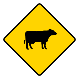
Cattle and farm animals
Farm animals may be on or crossing the road.
-
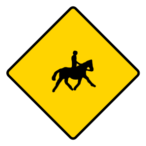
Accompanied horses and ponies
You may meet riders or people leading horses.
-
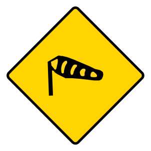
Crosswinds
Strong side winds may affect vehicles.
-
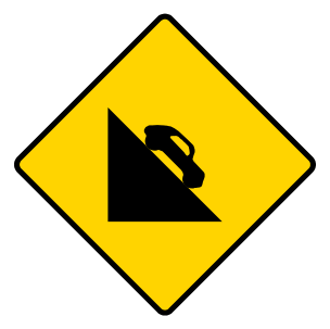
Steep descent ahead
The road slopes steeply downhill.
-
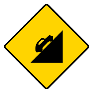
Steep ascent ahead
The road climbs steeply uphill.
-
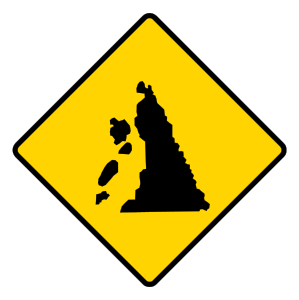
Falling rocks
Rocks may fall or already be lying on the road.
-
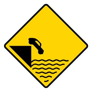
Unprotected quay, canal or river
An unprotected water edge is ahead.
-
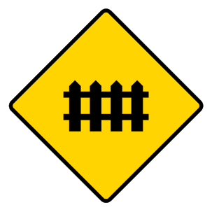
Level crossing with gates or barriers
A railway crossing protected by gates or a lifting barrier is ahead.
-
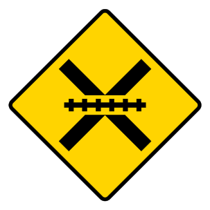
Level crossing without gates or barriers
A railway crossing without gates or a lifting barrier is ahead.
-
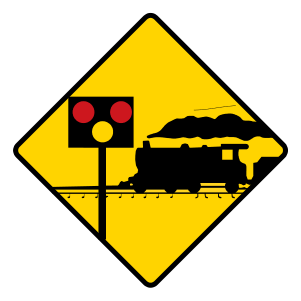
Level crossing with lights and barriers
A railway crossing controlled by lights and barriers is ahead.
-
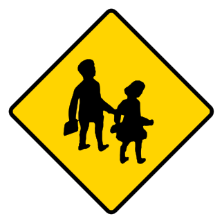
School ahead
A school is nearby and children may be on the road.
-
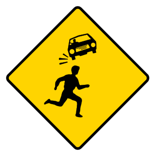
Children crossing in a residential area
Children may cross or run into the road ahead.
-
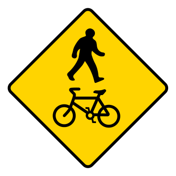
Pedestrian and cycle crossing
A crossing used by people walking and cycling is ahead.
-
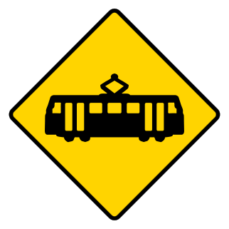
Tram lane crossing ahead
Your route crosses a tram lane ahead.
-
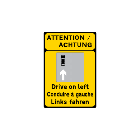
Drive on the left reminder
Traffic must travel on the left side of the road.
-
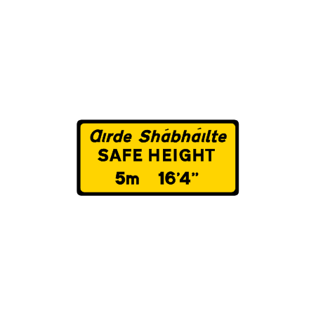
Safe height plate
The plate gives the safe clearance beneath overhead cables or a structure.
-
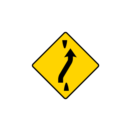
Traffic crossover ahead
Traffic will cross to the other carriageway or side of a central reserve.
-
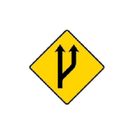
Start of a passing lane
An additional lane for passing begins ahead.
-
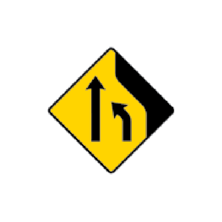
Lane loss ahead
One traffic lane ends ahead.
-
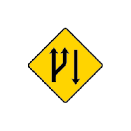
Start of a climbing lane
An extra lane begins on an uphill section for slower traffic.
-
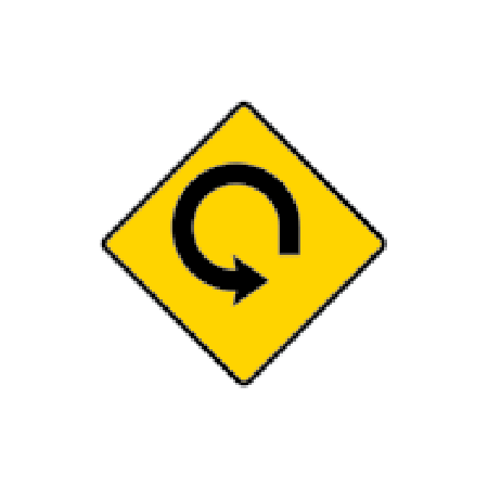
Loop road ahead
The road follows a tight loop ahead.
-
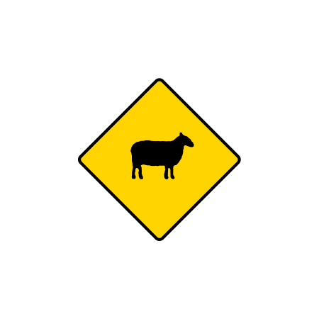
Sheep on the road ahead
Sheep may be on or crossing the road.
-
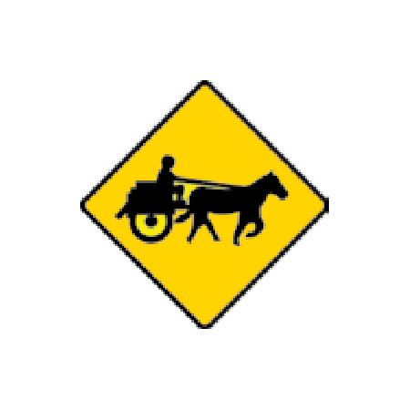
Jaunting cars ahead
Horse-drawn jaunting cars may use the road.
-
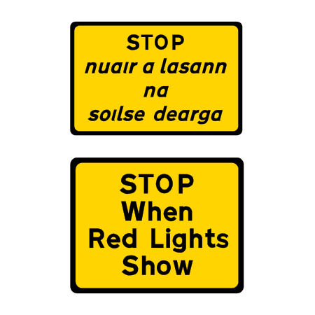
Stop when red lights show
Stop when the level-crossing warning lights show red.
-
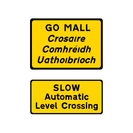
Automatic level crossing ahead
An automatic railway level crossing is ahead.
-
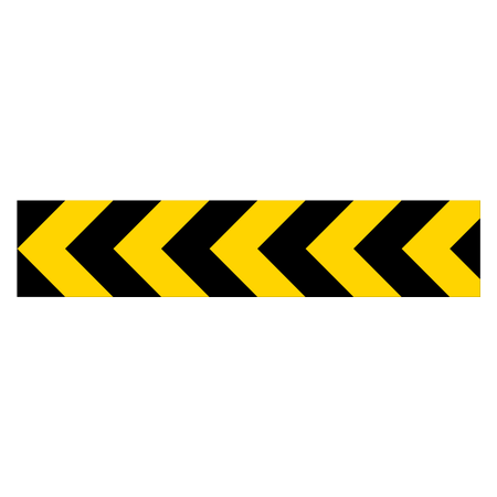
Sharp change of direction to the left
The road changes direction sharply to the left.
-
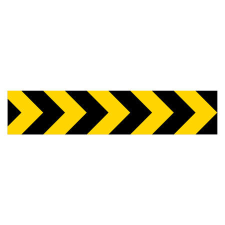
Sharp change of direction to the right
The road changes direction sharply to the right.
-
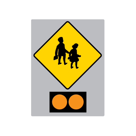
School children crossing with amber lights
School children may be crossing; this version has amber warning lights.
-
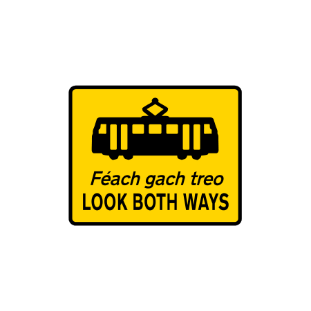
Tram track: look both ways
Pedestrians are approaching a tram track with trams possible from either direction.
-
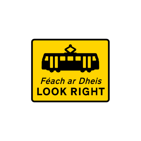
Tram track: look right
Pedestrians are warned to check for trams approaching from the right.
-
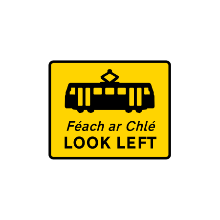
Tram track: look left
Pedestrians are warned to check for trams approaching from the left.
-
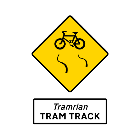
Slippery tram tracks for cyclists
Tram tracks can cause bicycle tyres to slip or catch.
-
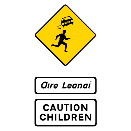
Children crossing with caution plates
Children may cross the road in this residential area.
Junction signs
-
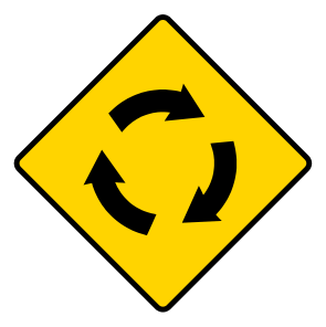
Roundabout ahead
You are approaching a roundabout.
-
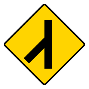
Merging traffic
Another stream of traffic joins your road.
-
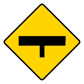
T-junction ahead
The road ahead ends at a T-shaped junction.
-
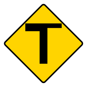
T-junction with a minor road
A road of less importance meets the road ahead. The thinner arm shows that road.
-
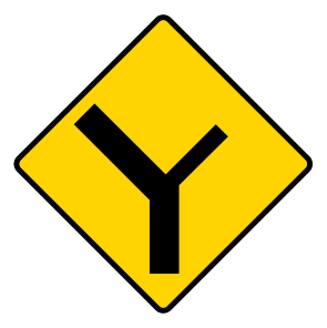
Y-junction with minor roads
A Y-shaped junction with roads of less importance lies ahead.
-
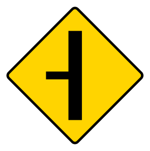
Side road of less importance
A smaller side road joins from the side shown.
-
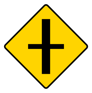
Crossroads with minor roads
Roads of less importance cross your route ahead.
-
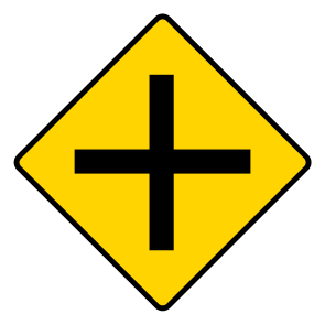
Crossroads of equal importance
Two roads of equal importance cross ahead.
-
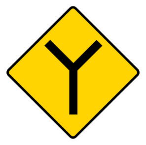
Y-junction of equal importance
Roads of equal importance meet in a Y shape.
-
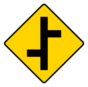
Staggered crossroads
Two side junctions are offset rather than directly opposite.
-
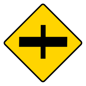
Major road ahead at crossroads
You are approaching a crossroads with a major road.
-

Stop sign ahead
A stop-controlled junction is coming up.
-
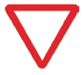
Yield sign ahead
A yield-controlled junction is coming up.
-
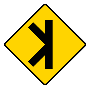
Merging or diverging traffic
Traffic may join or leave at the junction ahead.
-
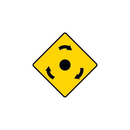
Mini-roundabout ahead
A mini-roundabout is ahead, marked by a small central island.
-
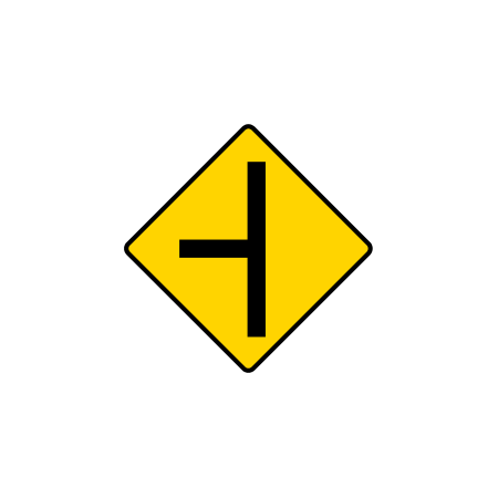
Equal-importance side road on the left
A road of equal importance joins from the left.
-
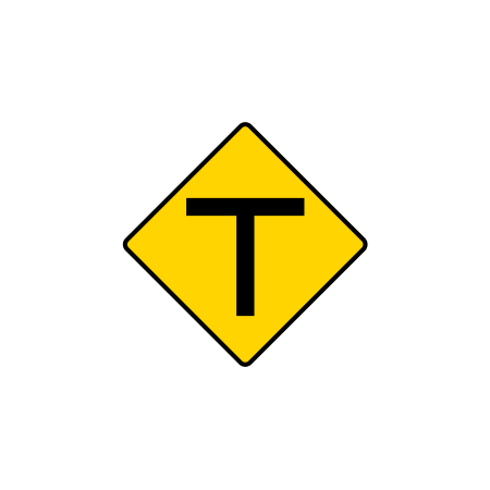
Equal-importance T-junction ahead
The road ends at a T-junction with a road of equal importance.
-
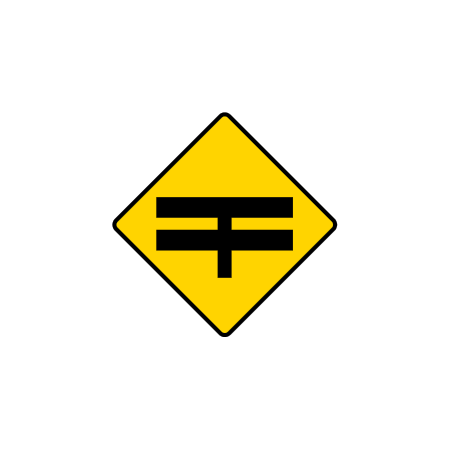
T-junction with a dual carriageway
Your road meets a dual carriageway at a T-junction.
-
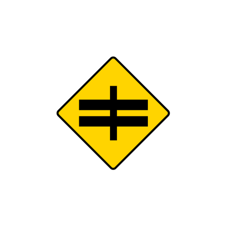
Crossroads with a dual carriageway
A crossroads with a dual carriageway is ahead.
-
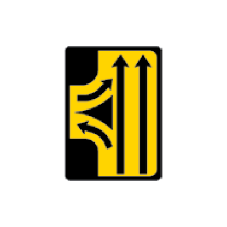
Compact junction ahead
A compact junction connects to the main carriageway ahead.
Roadworks signs
-
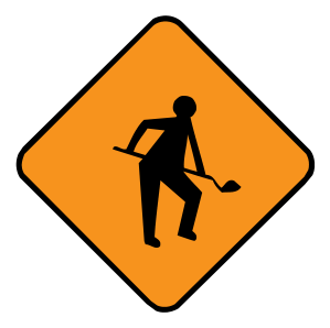
Roadworks ahead
Roadworks and workers may be ahead.
-
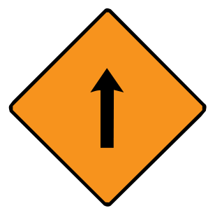
Single lane for shuttle working
Traffic uses a single lane in alternating directions through the works.
-
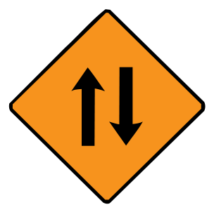
Two-way traffic at roadworks
Temporary roadworks arrangements carry traffic in both directions.
-
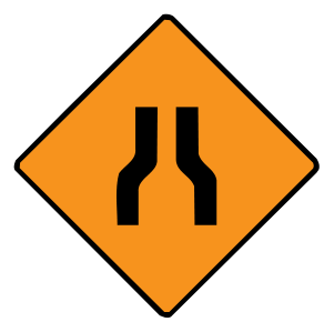
Road narrows at roadworks
The usable road width is reduced on both sides at the works.
-
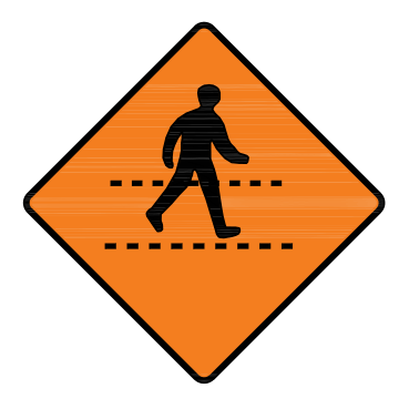
Temporary pedestrian crossing
People may cross at a temporary crossing near the works.
-
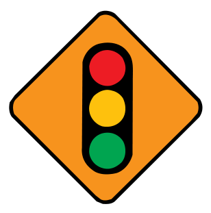
Temporary traffic signals ahead
Temporary lights control traffic at the roadworks ahead.
-
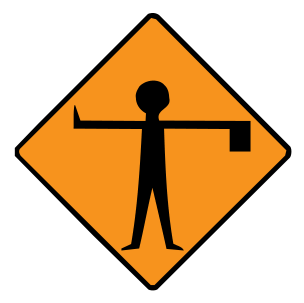
Flagman ahead
A person may be controlling traffic ahead.
-
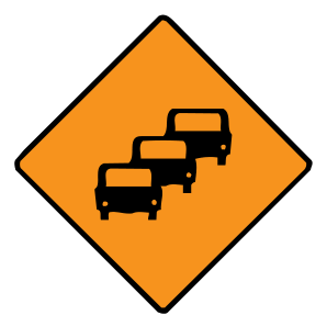
Queues likely
Traffic may be queuing ahead.
-
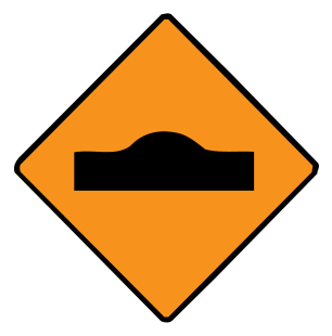
Hump or ramp
A temporary hump or ramp is ahead.
-
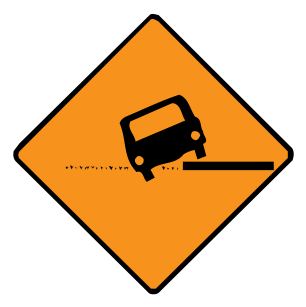
Uneven surface
The road surface is uneven through the works.
-
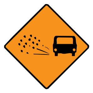
Loose chippings
Loose stones or chippings are on the road.
-
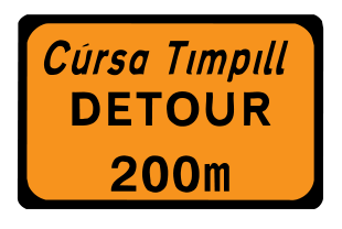
Detour ahead
A diversion begins ahead, at the distance shown.
-
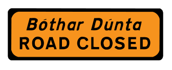
Road closed
The road is closed to traffic.
-

Roadworks controller: STOP
The traffic controller is instructing you to stop.
-

Roadworks controller: GO
The traffic controller is allowing you to proceed.
-
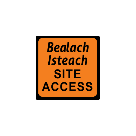
Roadworks site access
An entrance to a roadworks site is ahead.
-
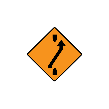
One-lane crossover out
One lane crosses out to the other carriageway at roadworks.
-
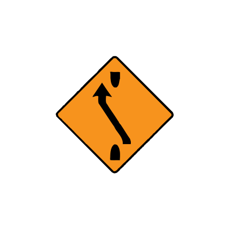
One-lane crossover back
One lane crosses back to its original carriageway.
-
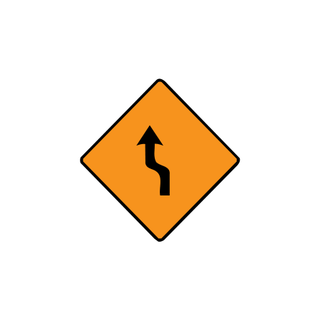
Move to the left: one lane
One traffic lane shifts to the left ahead.
-
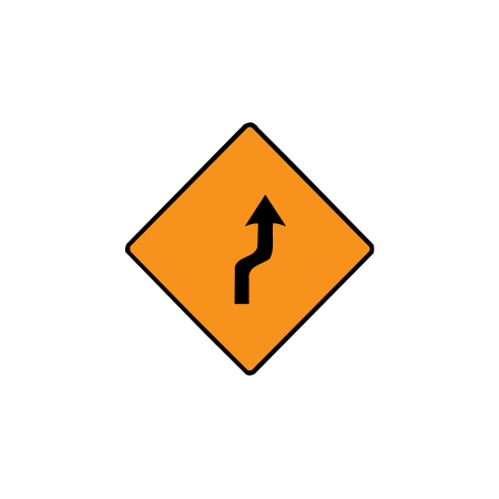
Move to the right: one lane
One traffic lane shifts to the right ahead.
-
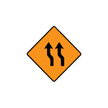
Move to the left: two lanes
Two traffic lanes shift to the left ahead.
-
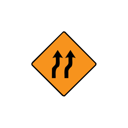
Move to the right: two lanes
Two traffic lanes shift to the right ahead.
-
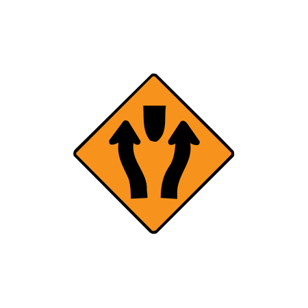
Obstruction between traffic lanes
Traffic lanes pass on either side of an obstruction ahead.
-
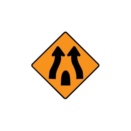
End of obstruction between lanes
Traffic lanes come back together after passing an obstruction.
-
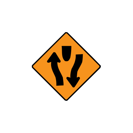
Start of central reserve or obstruction
A central reserve or obstruction begins, separating opposing traffic.
-
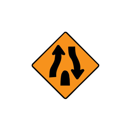
End of central reserve or obstruction
The central reserve or obstruction separating opposing traffic ends.
-
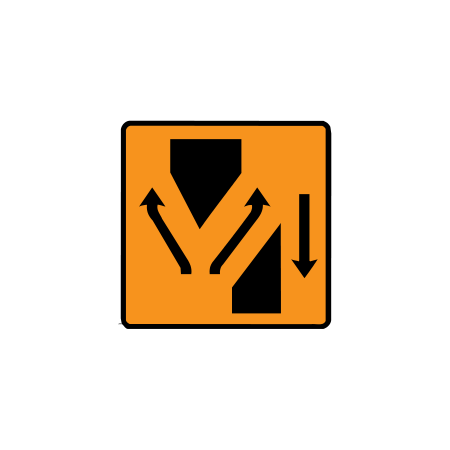
Lanes diverge at a crossover
Lanes separate into different routes through a crossover.
-
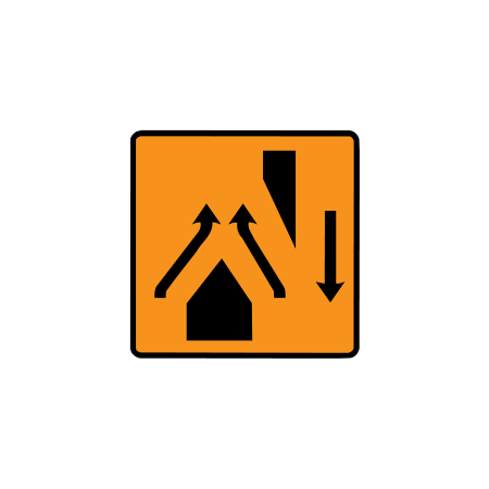
Lanes rejoin at a crossover
Lanes come back together after a crossover.
-
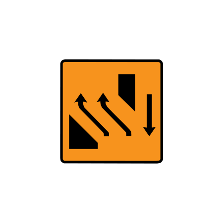
Two-lane crossover back
Two lanes cross back to the original carriageway.
-
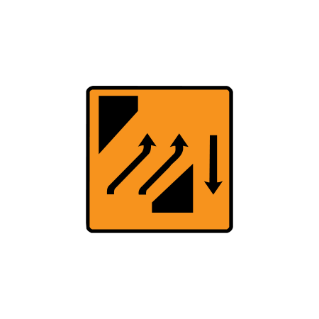
Two-lane crossover out
Two lanes cross out to the other carriageway.
-
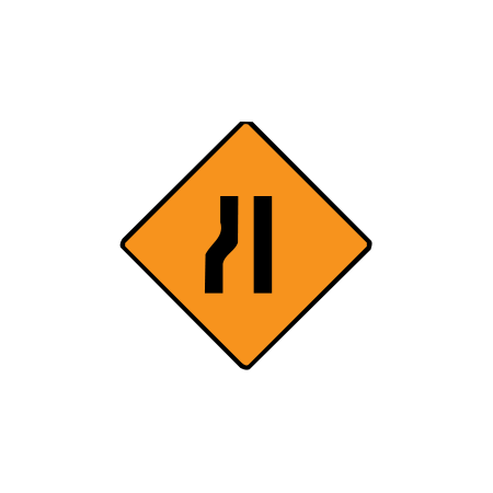
Roadworks: road narrows from the left
The usable road width reduces from the left at roadworks.
-
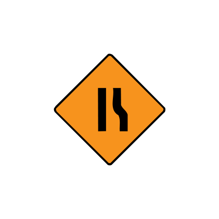
Roadworks: road narrows from the right
The usable road width reduces from the right at roadworks.
-
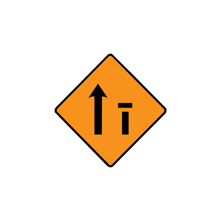
Right lane closed: one of two
The right-hand lane is closed on a 2-lane road.
-
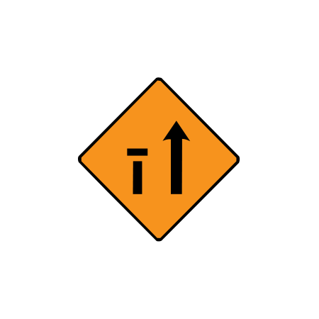
Left lane closed: one of two
The left-hand lane is closed on a 2-lane road.
-
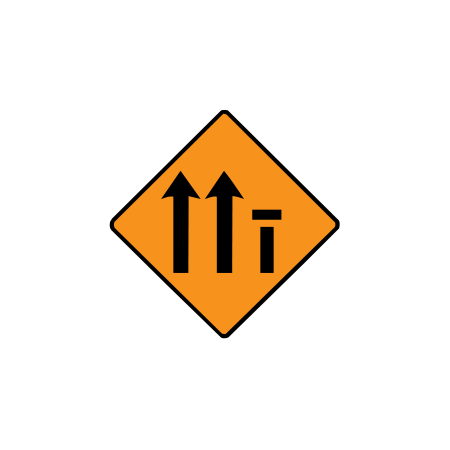
Right lane closed: one of three
The right-hand lane is closed on a 3-lane road.
-
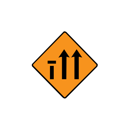
Left lane closed: one of three
The left-hand lane is closed on a 3-lane road.
-
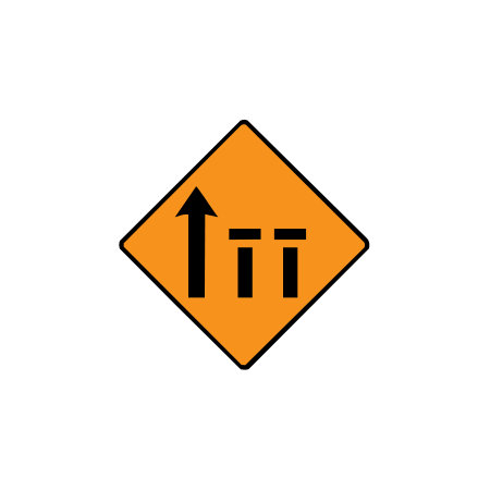
Two right lanes closed: three-lane road
The two right-hand lanes are closed on a 3-lane road.
-
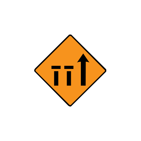
Two left lanes closed: diamond sign
The two left-hand lanes are closed on a 3-lane road.
-
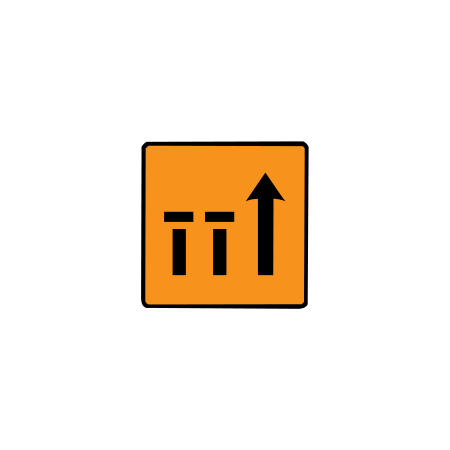
Two left lanes closed: rectangular sign
The two left-hand lanes are closed on a 3-lane road.
-
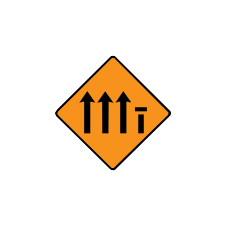
Right lane closed: one of four
The right-hand lane is closed on a 4-lane road.
-
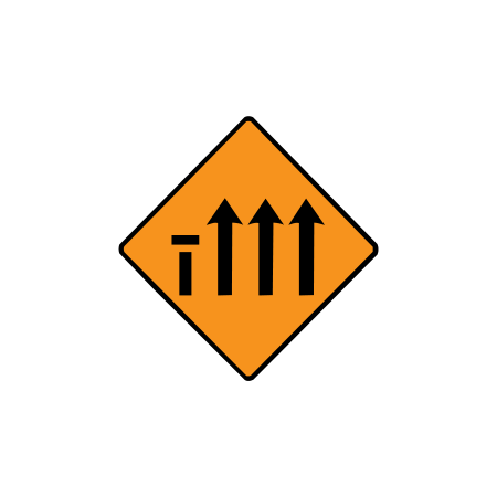
Left lane closed: one of four
The left-hand lane is closed on a 4-lane road.
-
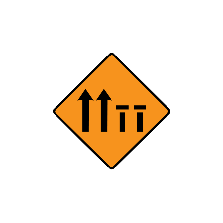
Two right lanes closed: four-lane road
The two right-hand lanes are closed on a 4-lane road.
-
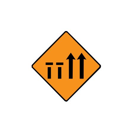
Two left lanes closed: four-lane road
The two left-hand lanes are closed on a 4-lane road.
-
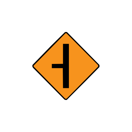
Roadworks: side road on the left
A side road joins from the left within the roadworks.
-
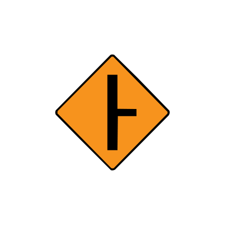
Roadworks: side road on the right
A side road joins from the right within the roadworks.
-
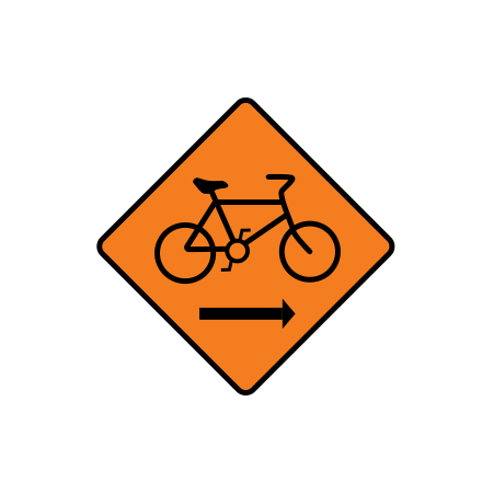
Roadworks: cyclists keep right
Cyclists are directed to the right of the temporary works route.
-
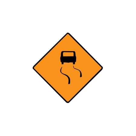
Roadworks: slippery road
The road surface may be slippery through the roadworks.
-
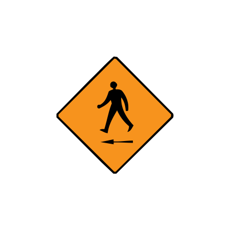
Roadworks: pedestrians cross to the left
Pedestrians are directed to cross to the left.
-
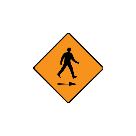
Roadworks: pedestrians cross to the right
Pedestrians are directed to cross to the right.
-
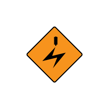
Roadworks: overhead electric cables
Overhead electric cables are present at the roadworks.
-
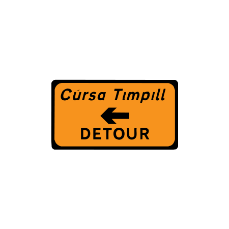
Detour to the left
The detour route turns left.
-
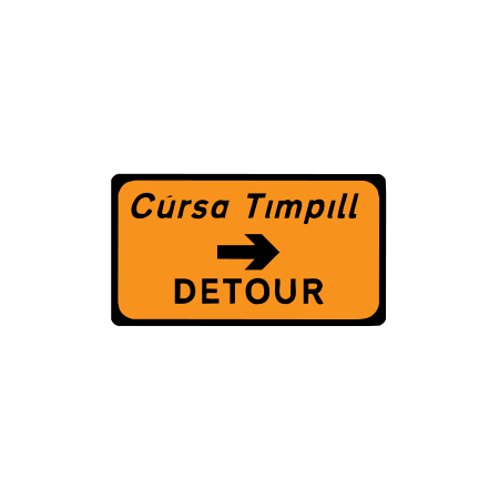
Detour to the right
The detour route turns right.
-
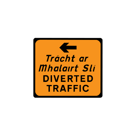
Diverted traffic: left
Diverted traffic must follow the route to the left.
-
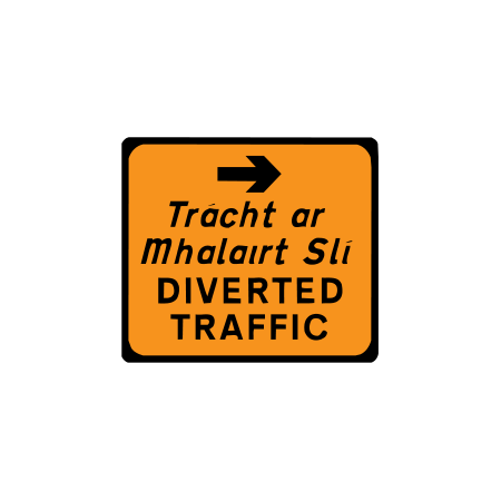
Diverted traffic: right
Diverted traffic must follow the route to the right.
-
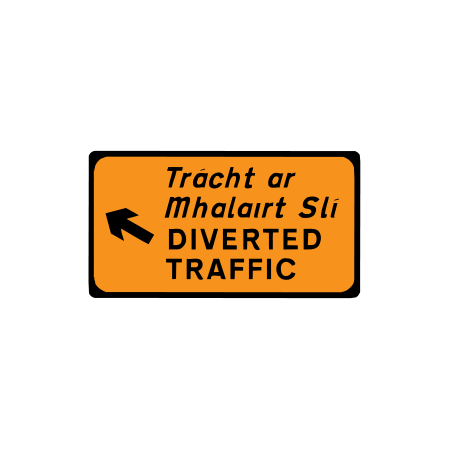
Diverted traffic: diagonally left
Diverted traffic follows the indicated diagonal-left route.
-
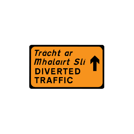
Diverted traffic: straight ahead
Diverted traffic continues straight ahead.
-
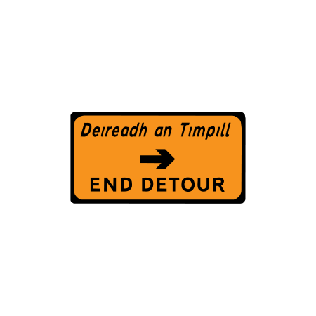
End of detour
The diversion ends in the direction shown.
-
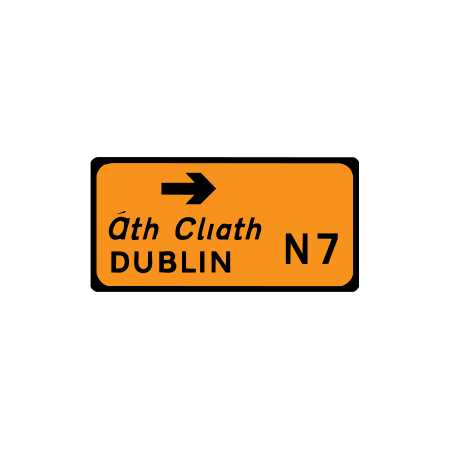
Detour destination direction
The diversion leads towards the destination and route number shown.
-
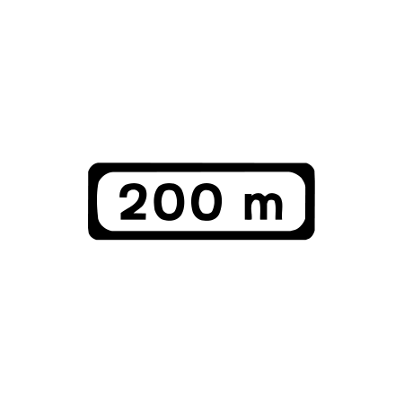
Roadworks distance plate: 200 m
The hazard or works sign above applies 200 metres ahead.
-
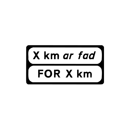
Roadworks length plate
The roadworks or restriction extends for the distance shown.
-
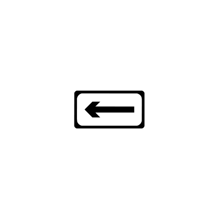
Roadworks direction plate: left
The sign above applies in the direction of the left arrow.
-
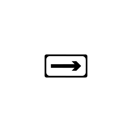
Roadworks direction plate: right
The sign above applies in the direction of the right arrow.
-
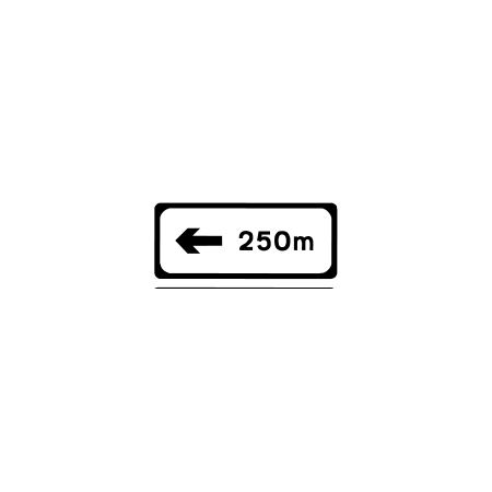
Roadworks plate: left in 250 m
The sign applies to the left in 250 metres.
-
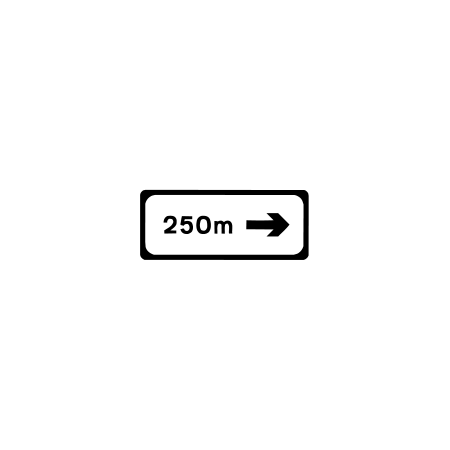
Roadworks plate: right in 250 m
The sign applies to the right in 250 metres.
-
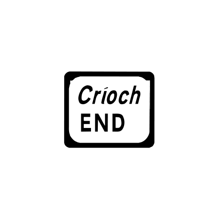
Roadworks end plate
The roadworks hazard or restriction indicated above ends here.
-
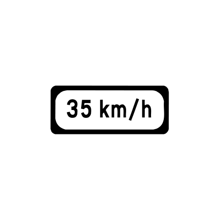
Roadworks cautionary speed: 35 km/h
This plate advises a cautious speed of 35 km/h at the works.
-
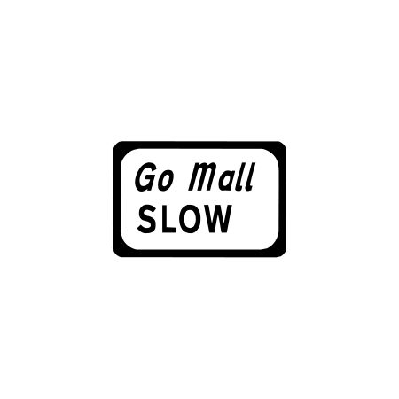
Roadworks slow plate
Drivers are advised to slow down for the works or hazard.
-
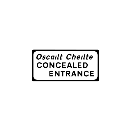
Roadworks concealed entrance
An entrance may be difficult to see near the works.
-
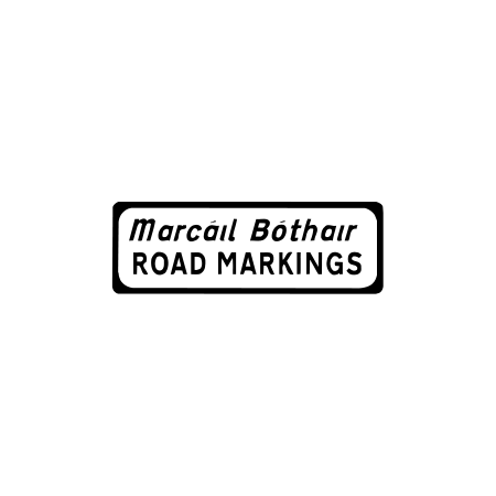
Roadworks type plate: road markings
The plate identifies the activity: road marking work.
-
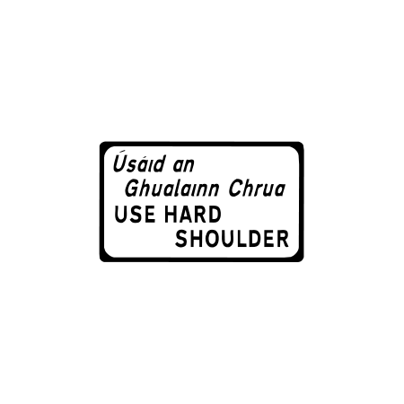
Roadworks: use hard shoulder
The temporary traffic route uses the hard shoulder.
-
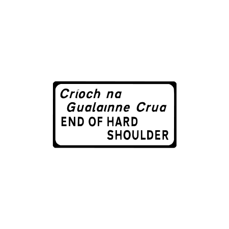
End of hard shoulder at roadworks
The hard shoulder ends ahead.
-
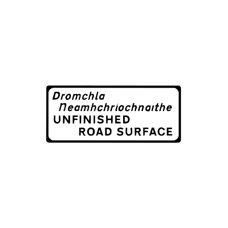
Unfinished road surface
The road surface is unfinished.
-

Roadworks barrier board
A barrier marks a closed or obstructed part of the works.
-
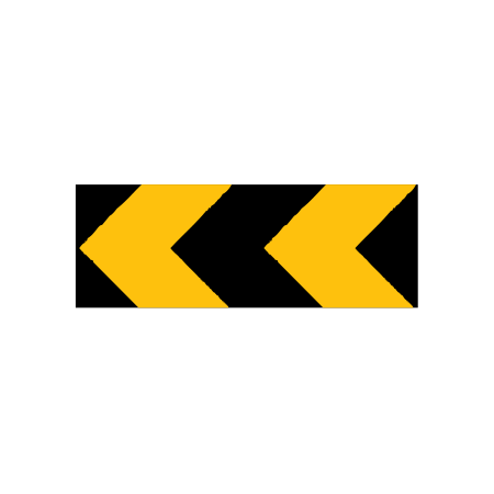
Roadworks chevron board: left
The temporary route changes direction sharply to the left.
-
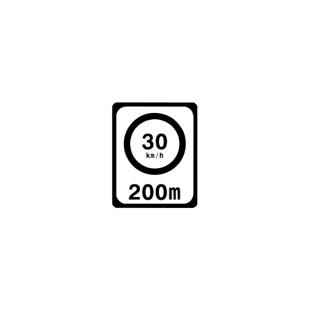
Roadworks speed limit ahead: 30 km/h
A regulatory 30 km/h speed limit starts 200 metres ahead.
-
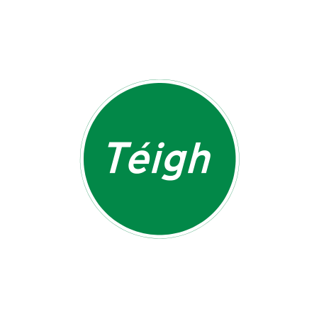
Manual traffic control: Téigh
The controller is showing the Irish word for Go.
-
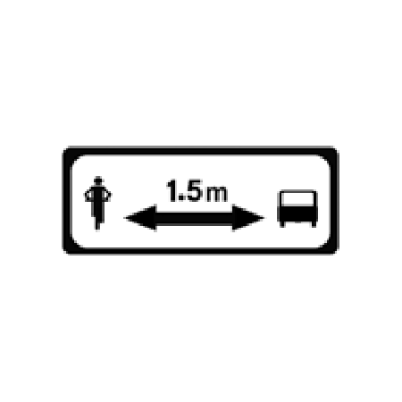
Roadworks: keep 1.5 m from cyclists
The sign reminds drivers to leave 1.5 metres when passing cyclists.
-
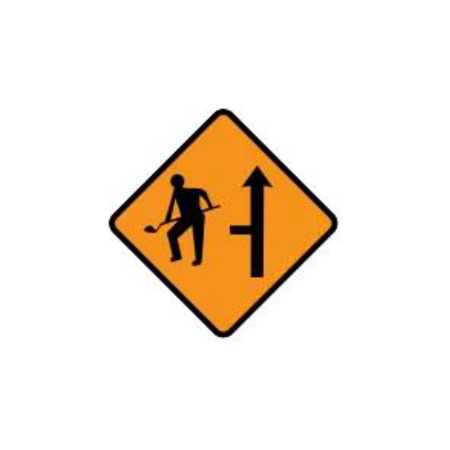
Roadworks site access on the left
Construction vehicles may enter or leave a site on the left.
-
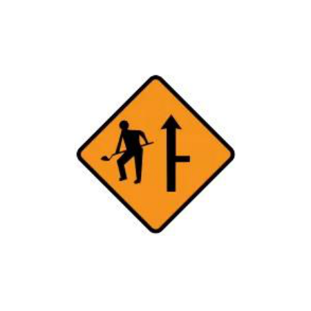
Roadworks site access on the right
Construction vehicles may enter or leave a site on the right.
-
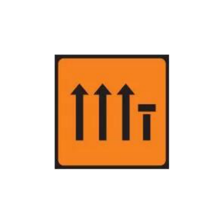
Right lane closed: rectangular four-lane sign
The right-hand lane of four is closed ahead.
Information signs
-

Cul-de-sac
The road is a dead end for through motor traffic.
-
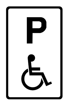
Disabled persons’ parking bay
The parking bay is reserved for eligible disabled parking permit holders.
-
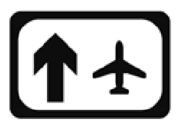
Airport
The symbol indicates the direction or location of an airport.
-
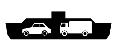
Ferry
The symbol indicates a ferry service or terminal.
-
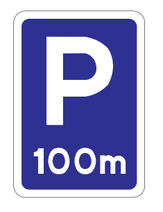
Lay-by ahead
A lay-by is ahead, at the distance shown.
-
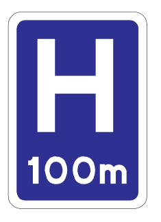
Hospital ahead
A hospital is ahead, at the distance shown.
-
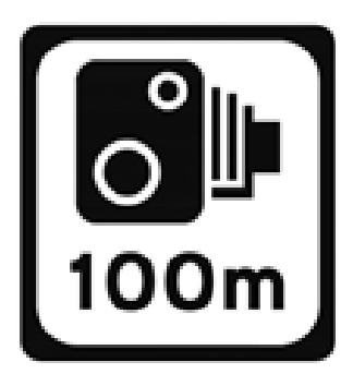
Speed camera
Speed enforcement may operate ahead, at the distance shown.
-
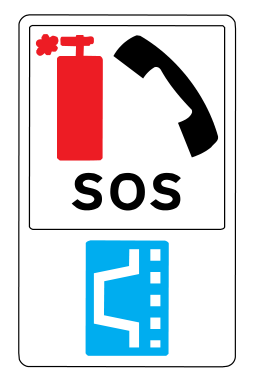
SOS lay-by
An emergency stopping area with an emergency telephone is indicated.
-
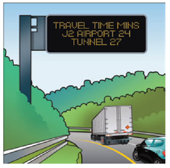
Overhead variable message sign
An electronic sign above the road displays changing journey or traffic information.
-
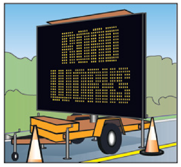
Mobile variable message sign — text
A portable electronic sign gives temporary traffic information, such as roadworks.
-
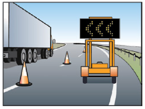
Mobile variable message sign — left chevrons
A portable electronic sign uses chevrons to guide traffic to the left.
-

VMS format — arrow right
Illuminated arrows or chevrons direct traffic to the right. This is one of the permitted visual formats.
-

VMS format — small dotted right
Illuminated arrows or chevrons direct traffic to the right. This is one of the permitted visual formats.
-

VMS format — short dotted arrow right
Illuminated arrows or chevrons direct traffic to the right. This is one of the permitted visual formats.
-
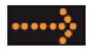
VMS format — long dotted arrow right
Illuminated arrows or chevrons direct traffic to the right. This is one of the permitted visual formats.
-

VMS format — single chevron right
Illuminated arrows or chevrons direct traffic to the right. This is one of the permitted visual formats.
-

VMS format — double chevron right
Illuminated arrows or chevrons direct traffic to the right. This is one of the permitted visual formats.
-
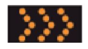
VMS format — triple chevron right
Illuminated arrows or chevrons direct traffic to the right. This is one of the permitted visual formats.
-
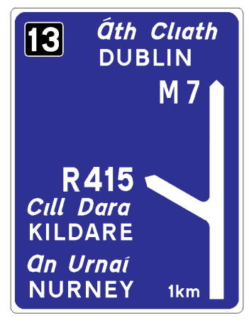
Motorway advance direction — M7 Dublin
Blue advance directions show the M7 motorway towards Dublin and the upcoming R415 exit for Kildare and Nurney.
-
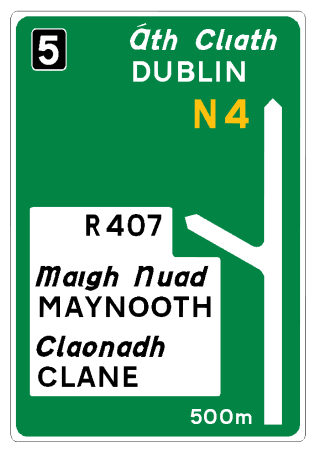
National road advance direction — N4 Dublin
Green advance directions show the N4 towards Dublin and the upcoming R407 route to Maynooth and Clane.
-
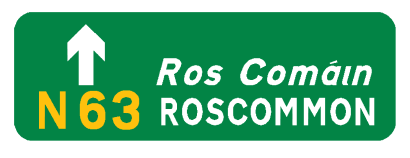
National road advance direction — N63 Roscommon
The green sign directs traffic ahead towards Roscommon on the N63.
-
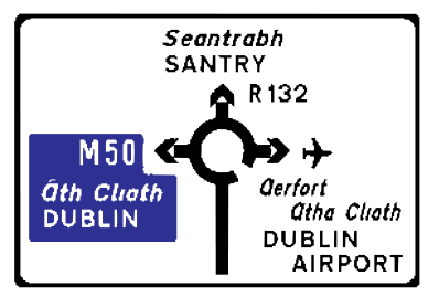
Regional road advance direction — Santry roundabout
The roundabout diagram shows exits for Santry, Dublin Airport and the M50.
-
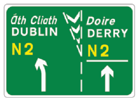
Lane destinations — N2 Dublin and Derry
Lane arrows and destinations show which lane to choose for Dublin or Derry on the N2.
-
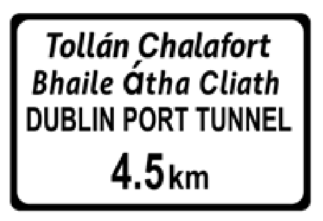
Dublin Port Tunnel ahead — 4.5 km
The Dublin Port Tunnel is 4.5 kilometres ahead.
-
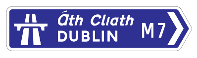
Motorway direction — M7 Dublin right
The blue right-pointing blade leads towards Dublin on the M7.
-
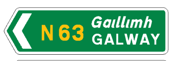
National direction — N63 Galway left
Turn left towards Galway on the N63.
-
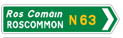
National direction — N63 Roscommon right
Turn right towards Roscommon on the N63.
-
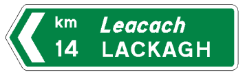
National direction — Lackagh 14 km left
The green direction blade points left towards Lackagh, 14 kilometres away.
-
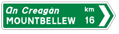
National direction — Mountbellew 16 km right
The green direction blade points right towards Mountbellew, 16 kilometres away.
-
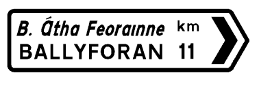
Regional direction — Ballyforan 11 km
The white right-pointing sign directs traffic towards Ballyforan, 11 kilometres away.
-
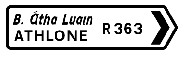
Regional direction — R363 Athlone
The white right-pointing sign directs traffic towards Athlone on the R363.
-
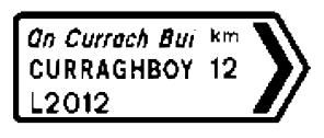
Local direction — L2012 Curraghboy 12 km
The local road direction sign points right towards Curraghboy on the L2012.
-
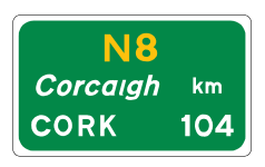
Destination distance — N8 Cork 104 km
The sign confirms Cork is 104 kilometres away on the N8.
-
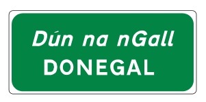
Town or village sign — Donegal
The sign identifies the town of Donegal.
-
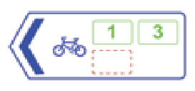
Cycle route direction — routes 1 and 3 left
The cycle-route sign points left for mapped routes 1 and 3.
-
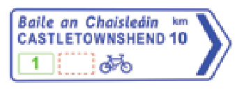
Cycle route direction — Castletownshend 10 km
The cycle-route sign points right towards Castletownshend, 10 kilometres away.
-
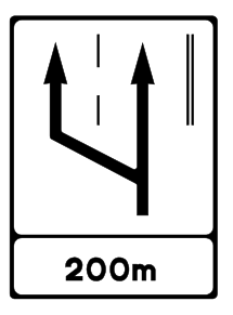
Slow lane ahead — 200 metres
An additional lane for slower traffic opens on the left in 200 metres.
-

Industrial estate symbol
The factory symbol identifies an industrial estate.
-
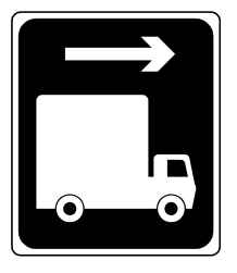
Alternative route for high vehicles — right
High vehicles are directed to the right to avoid a height restriction.
-
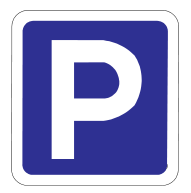
Lay-by
The P symbol identifies a lay-by or stopping place.
-
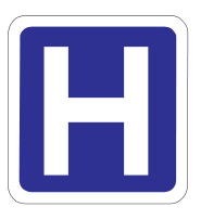
Hospital
The H symbol indicates a hospital.
-
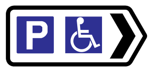
Car park with disabled facilities — right
A car park with facilities for disabled people is indicated to the right.
-
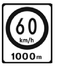
Speed limit changes to 60 km/h in 1 km
Advance information warns that a 60 km/h limit begins in 1,000 metres.
-
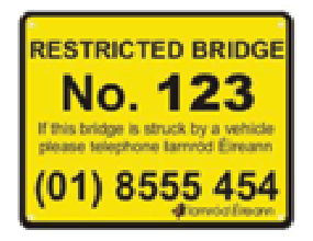
Low-clearance bridge identification — yellow
A yellow bridge identification plate gives a bridge reference and reporting telephone number.
-
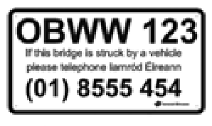
Low-clearance bridge identification — white
A white bridge identification plate gives a bridge reference and reporting telephone number.
-
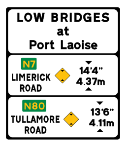
Low bridges advance information — English
This advance plate lists low bridges and their clearances on routes near Port Laoise.
-
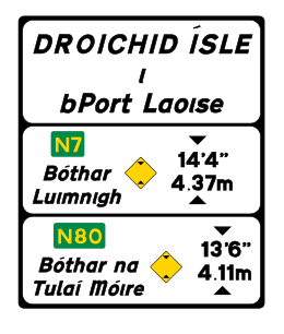
Low bridges advance information — Irish
This Irish-language plate lists low bridges and their clearances on routes near Port Laoise.
-
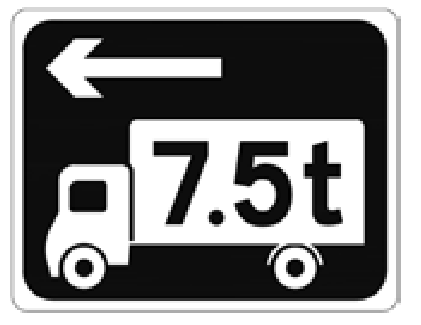
Alternative route for heavy vehicles — left
Vehicles above the displayed 7.5-tonne restriction are directed left.
-
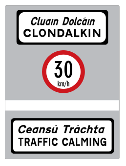
Traffic calming — Clondalkin 30 km/h
A traffic-calmed area begins at Clondalkin with a displayed maximum of 30 km/h.
-
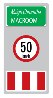
Traffic calming — Macroom 50 km/h
A traffic-calmed area at Macroom has a displayed maximum of 50 km/h.
-
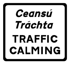
Traffic calming supplementary plate
The plate identifies traffic calming measures.
-
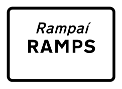
Ramps on road plate
The plate indicates ramps or speed humps on the road.
-
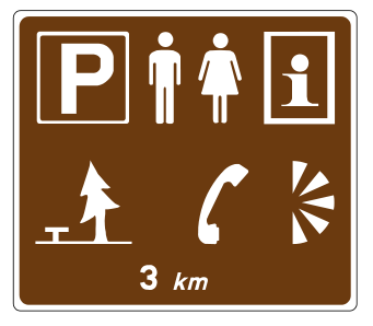
Lay-by facilities in 3 km
A lay-by in 3 kilometres offers the facilities represented by the symbols, including parking and visitor information.
-
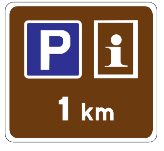
Lay-by with tourist information in 1 km
A parking lay-by with tourist information is 1 kilometre ahead.
-
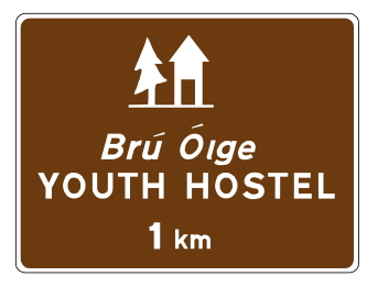
Youth hostel in 1 km
A youth hostel is indicated 1 kilometre ahead.
-
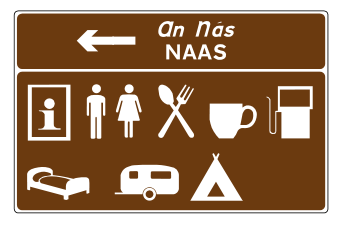
Local services — Naas left
The brown sign points left to local services in Naas; symbols show the available facilities.
-
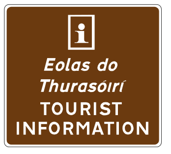
Approved tourist information
The information symbol identifies approved tourist information.
-
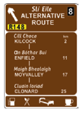
Alternative tourist route off motorway
A signed alternative route leaves the motorway and lists towns and facilities on that route.
-
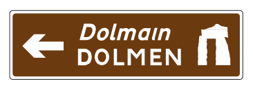
Tourist direction — dolmen left
The brown direction sign points left to a dolmen attraction.
-
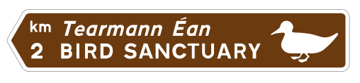
Tourist direction — bird sanctuary 2 km left
The brown direction sign points left to a bird sanctuary 2 kilometres away.
-
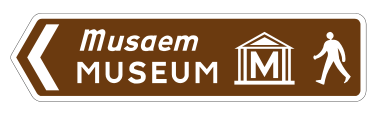
Pedestrian direction — museum left
The walking symbol shows a pedestrian route left to a museum.
-
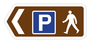
Pedestrian direction — car park left
The sign directs pedestrians left towards a car park.
-
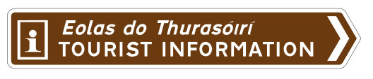
Tourist information point — right
The brown sign points right to an approved tourist information point.
-
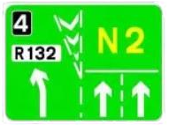
Lane destinations — N2 and R132 diagram
The diagram shows the lanes for the N2 ahead and the R132 exit, using the arrows displayed.
-
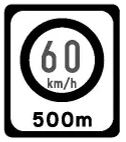
Speed limit changes to 60 km/h in 500 metres
Advance information warns that a 60 km/h limit begins in 500 metres.
Motorway signs
-
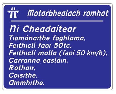
Motorway ahead — Irish restrictions
An Irish-language notice warns that motorway restrictions are about to apply.
-
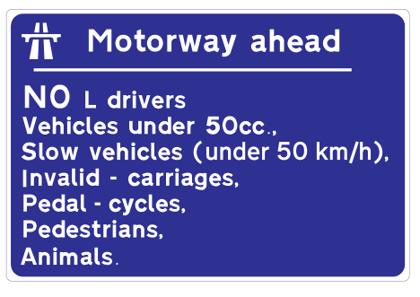
Motorway ahead — English restrictions
A notice warns that motorway restrictions apply ahead, excluding learners and other prohibited road users or vehicles.
-
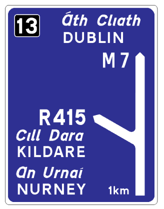
Motorway advance direction — M7 exit 13 in 1 km
The blue diagram shows the M7 continuing towards Dublin and exit 13 for Kildare and Nurney in 1 kilometre.
-
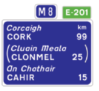
Motorway route confirmation — M8 and E201
The sign confirms the M8 and European route E201, with distances to the listed destinations.
-
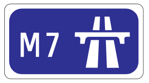
Entry to motorway — M7
This sign marks entry to the M7 motorway.
-
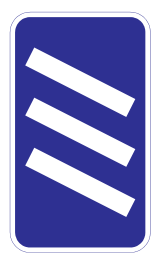
Motorway exit countdown — 300 metres
Three diagonal bars mean the exit is 300 metres away.
-
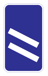
Motorway exit countdown — 200 metres
Two diagonal bars mean the exit is 200 metres away.
-
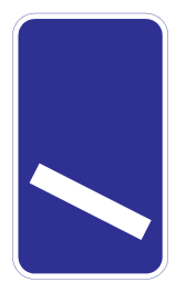
Motorway exit countdown — 100 metres
One diagonal bar means the exit is 100 metres away.
-
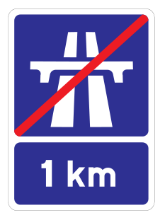
Motorway ends in 1 km
The motorway and its special rules end 1 kilometre ahead.
-
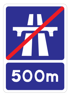
Motorway ends in 500 metres
The motorway ends 500 metres ahead.
-
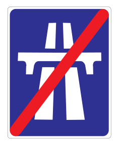
End of motorway
The motorway ends at this point.
-
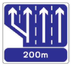
Motorway lane gain in 200 metres
The diagram shows an additional lane joining from the left in 200 metres.
-
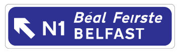
Motorway advance direction — N1 Belfast left
The sign indicates an upcoming left route towards Belfast on the N1.
-
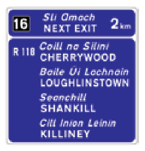
Motorway next exit — exit 16 in 2 km
A motorway exit is 2 kilometres ahead; the sign lists destinations reached from it.
-
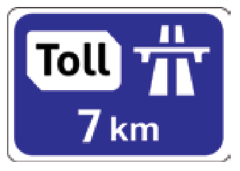
Toll plaza ahead — 7 km
A motorway toll plaza is 7 kilometres ahead.
-
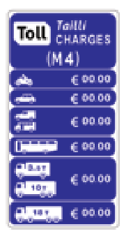
Toll charges by vehicle class
The sign lists toll charges for the different vehicle classes. The artwork uses example amounts.
-
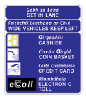
Toll plaza lane and payment information
The sign explains toll lane choices and payment methods such as cash, cards and electronic tolling.
-
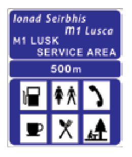
Motorway service area in 500 metres
A motorway service area is ahead; symbols show fuel, food and other facilities.
-
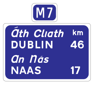
Motorway route confirmation — M7 Dublin and Naas
The route confirmation sign identifies the M7 and distances to Dublin and Naas.
-
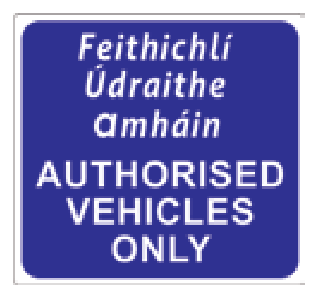
Authorised vehicles only
Only authorised vehicles may use this motorway access or area.
-
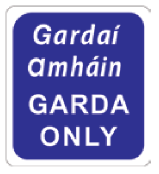
Garda only
This access or area is reserved for Garda vehicles.
Regulatory signs and instructions
-

Stop
You must come to a complete stop at the junction.
-
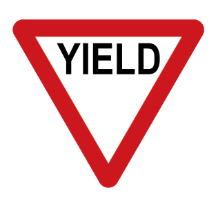
Yield
You must give way to traffic with priority.
-

No entry to vehicles
Vehicles must not enter from this direction.
-
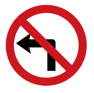
No left turn
Turning left at this junction is prohibited.
-
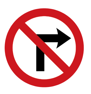
No right turn
Turning right at this junction is prohibited.
-
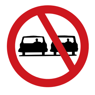
No overtaking
Overtaking is prohibited on the signed section.
-
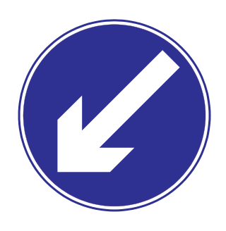
Keep left
You must pass to the left of the obstruction or island.
-
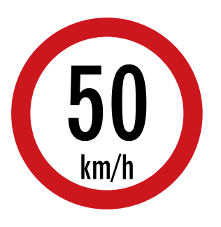
Maximum speed 50 km/h
The maximum permitted speed is 50 kilometres per hour.
-
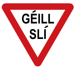
Yield — Géill Slí
Give way to traffic with priority. This is the Irish-language version of Yield.
-
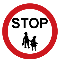
School warden STOP
A school traffic warden is stopping traffic to let children cross.
-
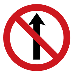
No straight ahead — crossed arrow
Traffic must not continue in the direction shown during the stated operating times or unless an exception plate permits it.
-
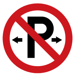
Parking prohibited
Parking is prohibited on the signed section, during any times shown.
-
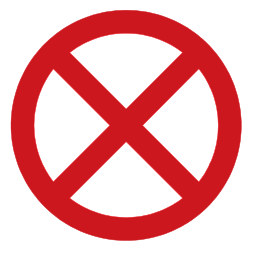
Clearway
Stopping and parking are prohibited during the clearway times shown, subject to the signed rules and lawful exceptions.
-
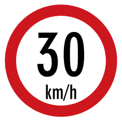
Maximum speed 30 km/h
The maximum permitted speed is 30 kilometres per hour.
-
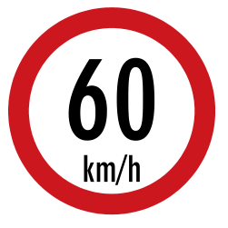
Maximum speed 60 km/h
The maximum permitted speed is 60 kilometres per hour.
-
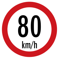
Maximum speed 80 km/h
The maximum permitted speed is 80 kilometres per hour.
-
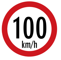
Maximum speed 100 km/h
The maximum permitted speed is 100 kilometres per hour.
-
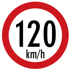
Maximum speed 120 km/h
The maximum permitted speed is 120 kilometres per hour.
-
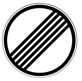
Rural speed limit — diagonal stripes
The current rural speed-limit sign indicates a maximum of 60 km/h where provided. The older 80 km/h caption in the linked guide is outdated.
-
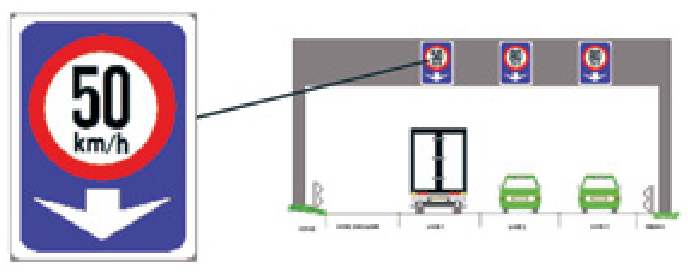
Speed limits per lane — 50 km/h example
Overhead signs can set a separate maximum speed for each lane. The arrow identifies the lane.
-
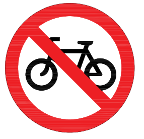
No bicycles
Bicycles must not enter this signed road.
-
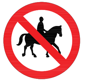
No ridden or accompanied horses
Ridden or led horses are prohibited.
-
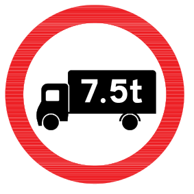
Maximum gross weight — 7.5 tonnes
Vehicles with a design gross vehicle weight above 7.5 tonnes are prohibited, subject to the applicable access rules.
-
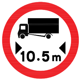
Maximum vehicle length — 10.5 metres
Vehicles longer than 10.5 metres must not enter.
-
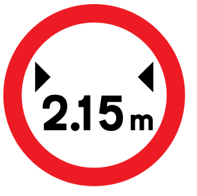
Maximum vehicle width — 2.15 metres
Vehicles wider than 2.15 metres must not enter.
-
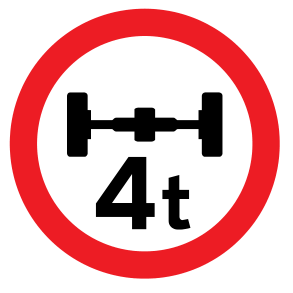
Maximum axle weight — 4 tonnes
An axle must not carry more than the displayed weight, here 4 tonnes.
-
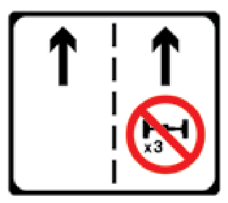
Tunnel right lane prohibited — three or more axles
In a road tunnel, goods and other non-passenger vehicles with three or more axles must not use the right-hand lane.
-
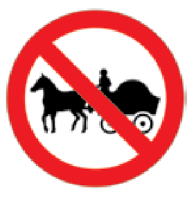
No horse-drawn vehicles
Horse-drawn vehicles must not enter.
-
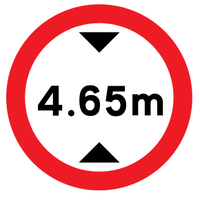
Height restriction — 4.65 metres
Vehicles above the displayed height must not pass, here 4.65 metres.
-
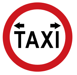
Taxi rank
This space is a taxi rank.
-
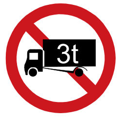
No entry for large vehicles — 3 tonnes
The displayed large vehicles above the stated design gross weight are restricted; this example shows 3 tonnes.
-
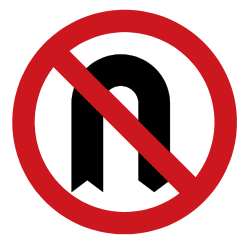
No U-turn
Turning around in a U-turn is prohibited.
-
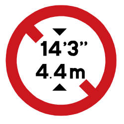
Height restriction — 4.4 metres
Vehicles higher than 4.4 metres must not pass. The sign also shows 14 feet 3 inches.
-
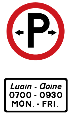
Parking permitted — shown hours
Parking is permitted subject to the conditions and times on the plate.
-
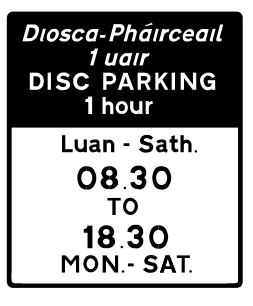
Disc parking — one-hour example
A parking disc or the required payment method is needed during the displayed times. This example permits one hour.
-
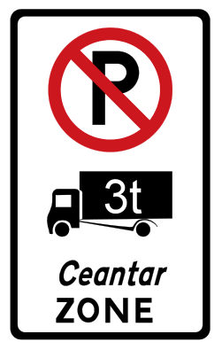
Large-vehicle parking restriction zone
The displayed large vehicles may not park in this zone, subject to its signed conditions.
-
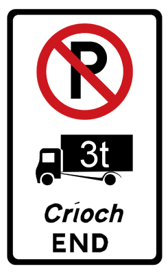
End of large-vehicle parking restriction zone
The specific large-vehicle parking zone restriction ends here.
-
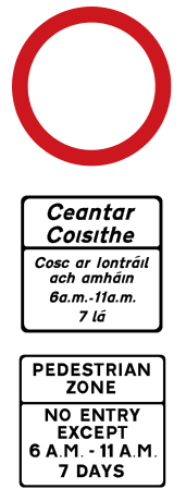
Pedestrianised street — timed access
Motor-vehicle entry is restricted in this pedestrian zone. The plates state when and whether access is allowed.
-
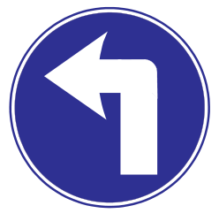
Turn left ahead
You must turn left at the junction ahead.
-
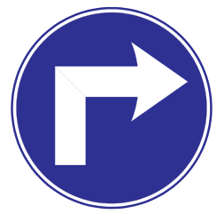
Turn right ahead
You must turn right at the junction ahead.
-
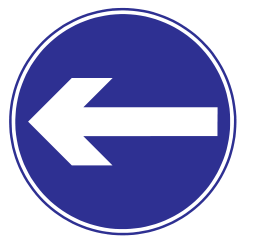
Turn left
Traffic must turn left in the direction shown.
-
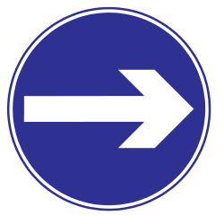
Turn right
Traffic must turn right in the direction shown.
-
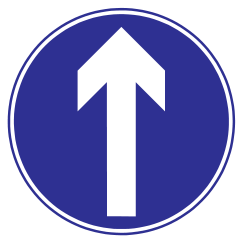
Straight ahead only
Traffic must continue straight ahead.
-
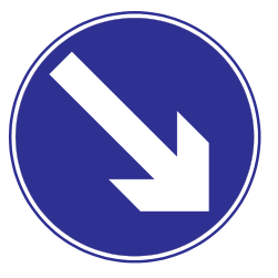
Keep right
Pass to the right of the obstruction or island.
-
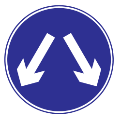
Pass either side
Traffic may pass on either side of the obstruction or island.
-
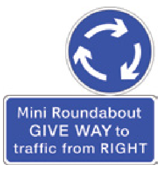
Mini-roundabout — give way to the right
You are at a mini-roundabout. Give way to traffic from the right as required.
-
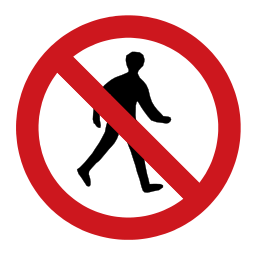
No pedestrian entry to tramway
Pedestrians must not enter the tramway here.
-
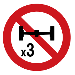
No entry to goods vehicles — three or more axles
Goods and other non-passenger vehicles with three or more axles are prohibited, except for permitted access to premises.
-
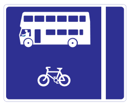
With-flow bus lane on the left
The left-hand reserved lane carries buses and other permitted users in the same direction as traffic.
-
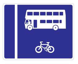
With-flow bus lane on the right
The right-hand reserved lane carries buses and other permitted users in the same direction as traffic.
-
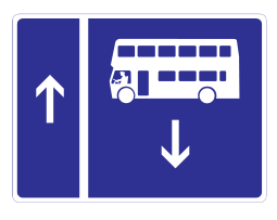
Contra-flow bus lane
Buses in the reserved lane travel against the main traffic flow.
-
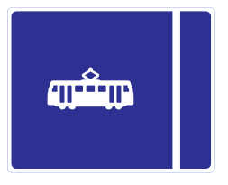
Tram lane on the left
A tram lane is on the left.
-
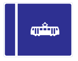
Tram lane on the right
A tram lane is on the right.
-
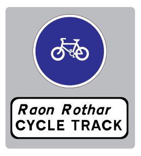
Start of cycle track
A cycle track begins here.
-
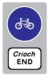
End of cycle track
The signed cycle track ends here.
-
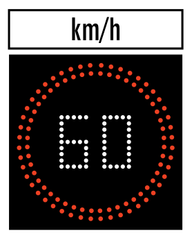
Tunnel variable speed limit — 60 km/h
An electronic sign sets the current maximum speed in the tunnel, here 60 km/h.
-
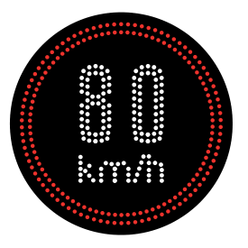
Variable speed limit — 80 km/h
The electronically displayed maximum speed can change; this example shows 80 km/h.
-
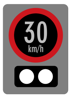
Periodic speed limit — 30 km/h
A periodic speed restriction applies when indicated by its active lights or stated conditions. This example shows 30 km/h.
-
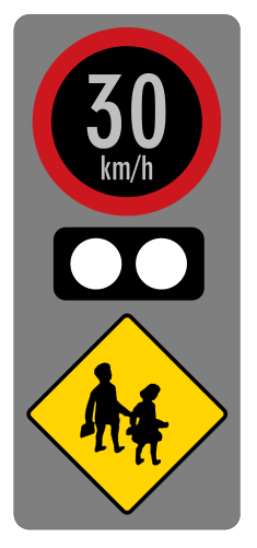
School periodic speed limit — 30 km/h
A periodic speed restriction operates near a school. The displayed limit is 30 km/h when active.
-
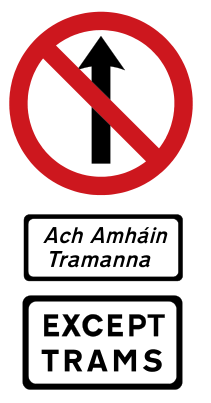
Tram-only street
Entry is restricted except for trams, as the plate states.
-
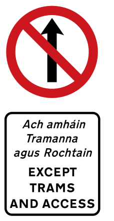
Tram and access-only street
Entry is restricted except for trams and permitted access.
-
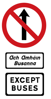
Bus-only street
Entry is restricted except for the buses allowed by the plate.
-
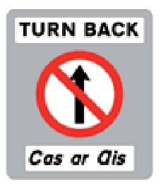
Turn back
The signed route cannot be continued; traffic is instructed to turn back.
-
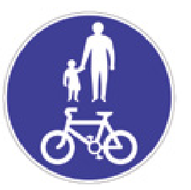
Pedestrians and bicycles only
This shared route is reserved for pedestrians, pedal cycles and permitted electric scooters.
-
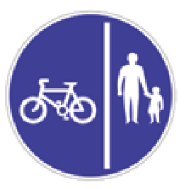
Separate bicycle and pedestrian lanes
The walking and cycling portions are separated. The symbols show which side each uses.
-

Lane open — green down arrow
The lane below the green downward arrow is open.
-
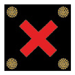
Lane closed — red X
The lane below the red X is closed to traffic.
-

Move into the left-hand lane
The lane control directs traffic into the lane on the left.
-

Move into the right-hand lane
The lane control directs traffic into the lane on the right.
-
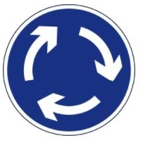
Mini-roundabout — plain blue circle
The circular arrows mark a mini-roundabout.